Yes but it will cost you is the short answer.
Reckon this is where the requirement is to use the built in car navigation system rather than branching out... because we don't like Google Maps
")
. The proprietary nature of What3Words has limited apps since they make their money off the API so it appears. So as long as someone is contributing to their business model it gets included. Un officially people get unsupported Android Auto apps on the car by using mib tool boxes that by pass the requirement to be compatible but obviously that's considerable a modification. Some of those apps support What3Words.
Question is whether those apps are now in Android Auto without the surgery. Answer is yes with the What3Words Pro account £. (Your question)
Costs:
UK (GBP) Europe (EUR) USA & rest of world (USD) Pro Monthly £3.49 per month €4.19 per month $4.69 per month Pro Annual Save 28% plus, get a 7-day fr...

support.what3words.com
So I reckon you aren't going to get round coughing up for the feature either by direct payment as above or a license within a product. They are going to get their £30 a year one way or another.
The Japanese version used only in Japan is free. Thats the one I've used travelling in Japan, you fumble the codes in, press some Japanese characters on the cars system and off you go. It keeps Google Maps out of Japan. Korea has a similar approach and makes it a legal requirement to smudge out aeriel images with digital foliage so those pesky North Koreans get lost should they invade and get close to installation they dont want them around....

en.wikipedia.org
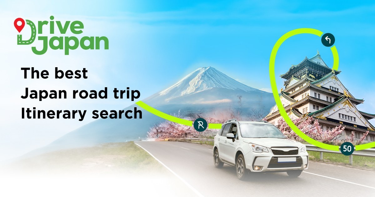
Learn
how to use mapcodes in Japan to navigate easily by GPS on your road trip.

drivejapan.co.jp
Then you have the Mapcode Foundation different from Denso's Mapcode system.
en.wikipedia.org
Those are all free together with the normal coordinate system for which there are quite a few.
The What3Words being words are suppose to be easier than numbers and letters but mean different things in different languages... the fun. Hence the language drop down box in the What3Words look up.
Geographers trying to make a buck out of geography.

.